Home > Utah and Nevada > Summits
Click on any image to enlarge and jump to that page.
| Secret Pass, Nevada Hwy 229, looking east. | |
| Secret Pass, Nevada Hwy 229, looking west. | |
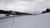
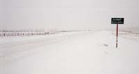
| Murray Summit, US-6, near Ely, Nevada. | |
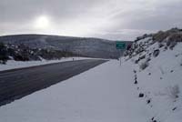
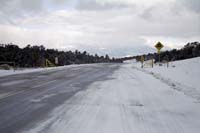
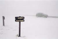
| Robinson Pass, US-50, west of Ely, Nevada. | |
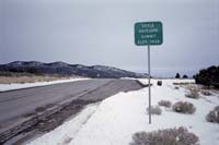
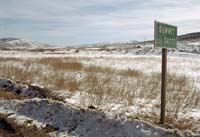
| Little Antelope Summit, US-50, west of Ely, Nevada. | |
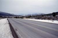
| Little Antelope Summit, looking east. | |
| Looking westward over Sacramento Pass, Nevada into Ruby Valley, and a clearing leeward sky. | |
| A wider view of Sacramento Pass, Nevada. | |
| An unnamed summit near Bryce Canyon, along Utah-12. | |
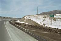
| Roundup Flat Summit, Esclante National Monument, along Utah-12. | |
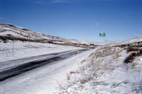
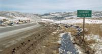
| Looking west over Soldier Summit, between Price and Provo, along US-6. | |
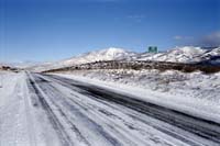
| Looking east over Soldier Summit, between Price and Provo, along US-6. | |
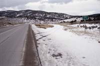
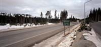
| Soldier Summit, between Price and Provo, along US-6. | |
| Donner Summit, I-80, California, looking westward. | |
Home > Utah and Nevada > Summits
All rights reserved. Copyright (C) 1991-2005, John Kalucki.
Please send comments, suggestions, and re-use requests to:
![]()