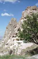
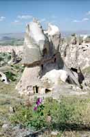
The region is famous for its rock formations created by the soft rock, arid climate and a slow rate of erosion. The rock has been exploited throughout the ages for shelter, defense and other industry.
The landscape has an other-worldly, almost barren moonscape feel.
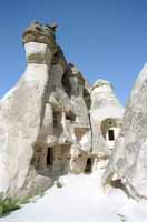
The Turkish government eventually decided that having citizens living in caves was a national embarrassment. The last of the cave dwellers were evicted only in the 1970s.
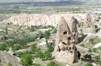
There still is some lingering resentment over the eviction from the caves. Some locals still feel that their old caves offered a better standard of living than government housing in the villages.
Residents still use the caves as storage, barns and aviaries.
In some areas, the caves have been sealed up except for a few small holes. This encourages pigeons to roost. The pigeon dung is collected to fertilize the harsh soil.
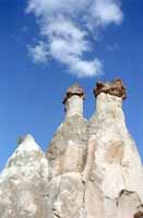
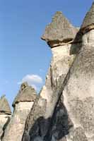
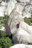
The slightly denser rock above protects the more porous and weaker rock below -- forming a bit of a weather cap. You can imagine how it works from there.
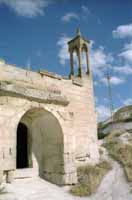
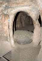
The symbol on the keystone caught my eye.
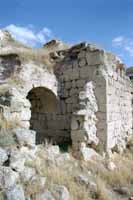
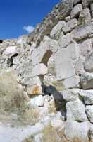
Bah, my notes are a mess. I can see every bump in the road in my scrawl, but not the where I took this picture.
It's gotta be Zelve.
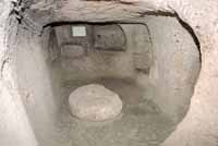
This is a typical room in one of the 'Cities.' There are storage spaces dug into the walls, and passageways which lead in all directions.
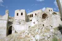
These cities were built for defensive purposes.
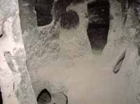
Check out the soot stains. The air must have been foul with smoke, cooking, and people odors during a siege.
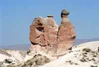
This is the 'Camel,' for example. Looks more like a snail to me, but this is caravanserai country along the old Silk Road. Not many snails, but plenty-o-camels.
A few more images of Cappadocia.